I parked at the end of Crane Pond Road, and started getting ready to run. The mosquitoes were already out and looking for a meal, so I went for the picaridin right from the bat. While I was getting my stuff together, I chatted briefly with another runner, who said he was going up to the trailhead and then running back. He and his dog set out fairly quickly, and I thought about how great it would be to live close enough to this system that a 4 mile run would be worth the drive.
I set out, along a wide woods road, trying to take in as much as I could while still moving quickly. I heard and then saw a small waterfall off to my left, running strong from the recent rains. The other runner passed by on his way back, moving at a quick pace. There was one car parked at the trailhead for Goose Pond, which was all I expected to see, but then there was another at a small bend in the road.
Then the road dipped down, all the way down until we were in the drainage plain of Alder Pond. I had been able to avoid the puddles until now, but a road-sized muddy puddle stood before me. It was impossible to see the bottom, but I knew what to do. I plunged bravely in, trying to avoid widening the ... road ... and immediately stumbled. I expected it to be 6-8", but it was much, much deeper. At least 18", though it wouldn't have surprised me if it was 24". Down I went, and my left knee smashed into what must have been gravel in a shallower section of the puddle. I had gone to the puddle near the right edge of it, and it only occurred to me after I had shredded my knee to pieces that the edges of the puddle would be the deepest, due to vehicular traffic. Where my knee had hit was where I should have been running.
It looked like I had a small gash on my knee. Nothing too bad. I could fix it up when I got home. I pushed on, and found myself standing in a large, pine needle covered parking area. There were at least ten trucks and SUVs there, though I didn't stop to count. The moment I stopped running I was swarmed by mosquitoes. The trailhead was off to the right, and I pushed on, stopping for a moment to clean the mud off of my hands in the outlet of Crane Pond.
The road had been fairly level, never flat, but very runnable. The trail was fairly runnable, too, and in some places it was as wide as a road, an indication that it might have been one, at some point. The trail register wasn't too far beyond the bridge over the Crane Pond outlet. I stopped to register, and then pushed on, still hounded by the mosquitoes. After a few more strides I stopped, put my pack on a rock, and applied another round of picaridin. It stung on my knee, but it worked. The mosquitos backed off once again.
Again I pushed on, taking a left at the next junction, heading south now, toward the mountain. Whenever I stopped, I was swarmed, so I did my best to just keep pushing. I reapplied the picaridin a few times, and the effect was the same. As long as I was hiking, I was generally ok. Once I hit the steeper portion of the trail, I decided to just keep hiking, to see if the mosquitoes would stay away. It worked, for the most part.
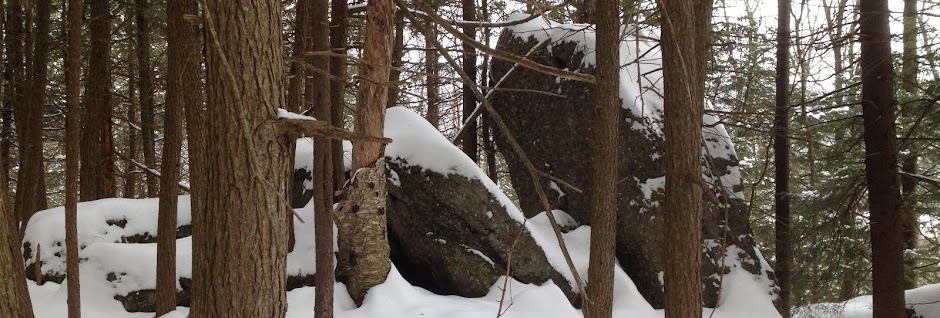
The trail guide describes the hike as exposed ridge, and that's technically correct, though inaccurate. The portion where the trail is has been eroded away down to the bedrock in many places, but this is not, in any way, shape, or form, an exposed ridge. There is a small, 15' section that is exposed (about 10' of exposure) on a herd path paralleling the trail. That's it.
Exposure has three meanings here, so, in case that wasn't clear:
1) You are hiking on bedrock that has been exposed through erosion.
2) You are not very likely to fall. (There are cliffs near the summit area that you could fall off of if you REALLY tried. Keep your kids on their leashes.)
3) You are never above the treeline. (There are a few large tree-less areas on the summit, and that helps with the view.)
Despite never actually getting above the treeline, there are *fantastic* views from the summit. After getting up to the summit area, I headed left, scrambled up some rocks and soaked in the view. I could see Schroon Lake, Desolate Swamp, and the High Peaks off to the northeast. It wasn't immediately obvious which peaks I was looking at, though I could make out some of the Great Range, which helped with orientation. The PeakFinder app helped fill in the pieces: the three most prominent peaks I was seeing were Marcy, Dix (the Beckhorn), and Giant. That struck me: I was standing on the highpoint of one wilderness area and looking at the highpoints of three others.

After a snack and a few glorious bug-free moments in the sun, I went to explore the rest of the summit area. Just beyond the turn off for the summit proper is a trail leading to a designated camping area. (I didn't realize there were any designated camping areas on summits, especially prominent summits like this, but it makes sense to keep people in an area that can take it.) I found the remnants of a fire there, but the flies buzzing about kept me moving on. Beyond the camping area was another massive open slab, which I explored a bit. Eventually I was driven away by flies, and I started heading back. Just before I left the summit area, I found a small wooden structure, like a stash box, a few feet off of the trail, and further down the trail, a small cave that didn't seem to go anywhere.
I wasn't able to run on the steeper section due to the water on the bedrock, which kept the rocks slick. Once I was past the exposed bedrock, I was able to run some, and that's when I started to run into a steady stream of hikers: one miserable looking guy with a bug net, an older couple resting on a rock, who warned me about the troop coming up the trail, followed by several other smaller couples and even a few small dogs. When I got down to the water there were canoes out on Crane Pond, and as I ran the road back toward my car, I had to step off several times to make room for the vehicles coming through. I also saw what I had missed the first time through: a small herd path through the weeds right next to the road where the puddle-trap was.
I made it back to the car more or less intact, and stopped at the Stewart's in Schroon for a snack before making my way back home.
I think I'm more or less done with running on trails in May, June and July. I can keep the mosquitoes at bay fairly well with long sleeves and picaridin, but it fails utterly and miserably when I'm wearing short sleeves and sweat enters into the equation. The other non-DEET sprays I've tried, using citronella or oil of Lemon Eucalyptus, follow the same pattern. So I think it makes more sense to stick to double track when the bugs are at their worst, where I can move more quickly and not bother with bug spray.